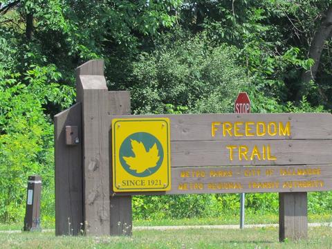
Freedom Bike and Hike Trail
About this Location
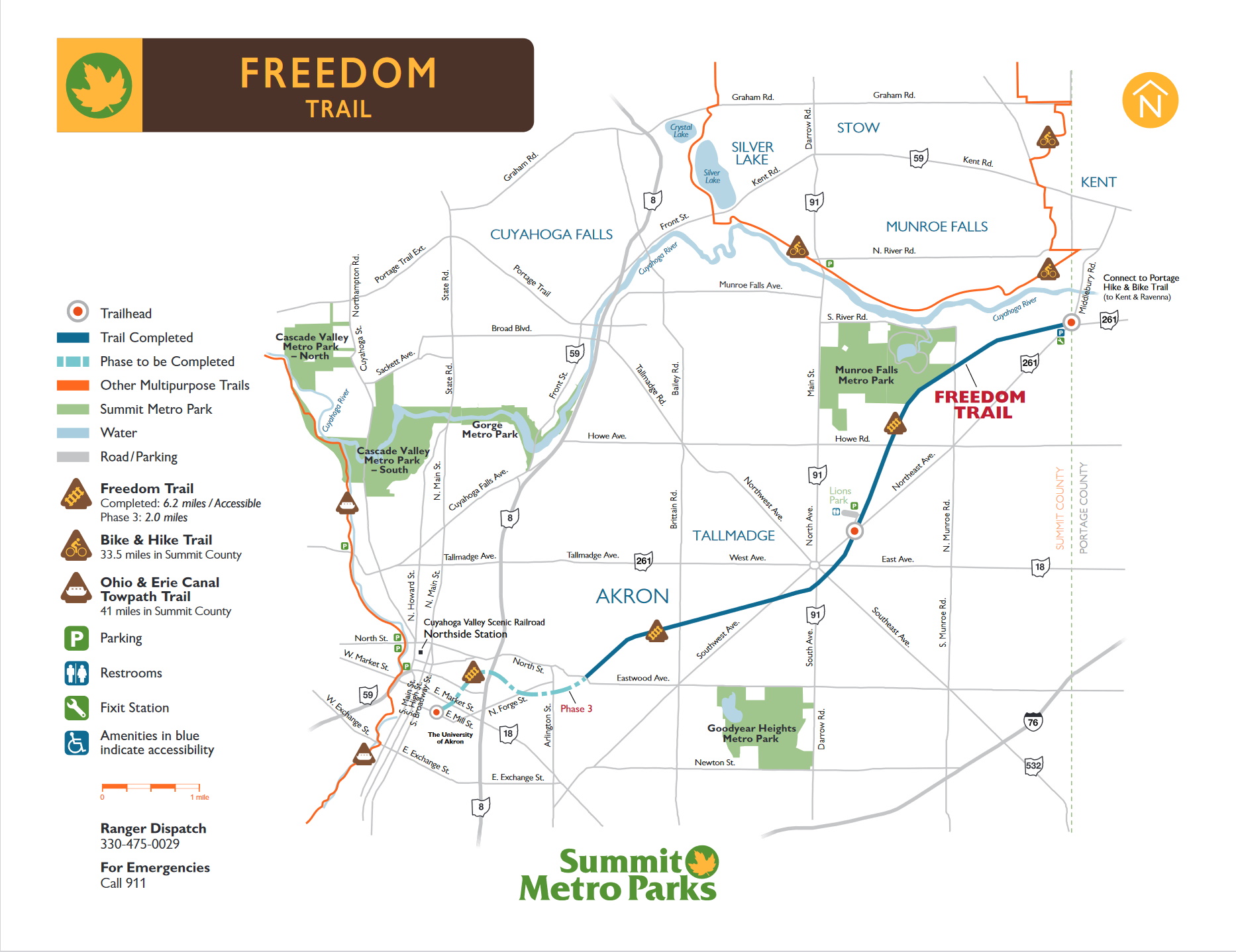
Freedom Bike and Hike Trail
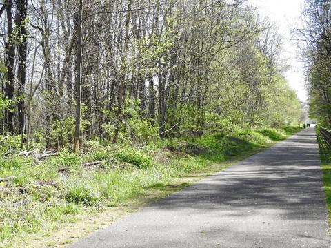
Starting near the Portage Hike and Bike Trail in Kent, this multipurpose trail, on land owned by METRO Regional Transit Authority, follows an unused railroad corridor. Phase II construction, now complete, extends to Eastwood Avenue in Akron. Eventually, it will connect with downtown near The University of Akron campus.
The railroad corridor provides wildlife with a linear connection between green spaces. Bald eagles, coyotes, and white-tailed deer use these grounds as their home.
Notable Trails
Hikes of varying lengths are possible from the trailheads on the Freedom Bike and Hike Trail.
Features
Restrooms on site
Content from Official Website