Iron Horse Trail (Stark Co.)--Cenfield St.
Iron Horse Trail (Stark Co.)--Cenfield St.
Alliance, Ohio 44601
Iron Horse Trail (Stark Co.) Official WebsiteAbout this Location
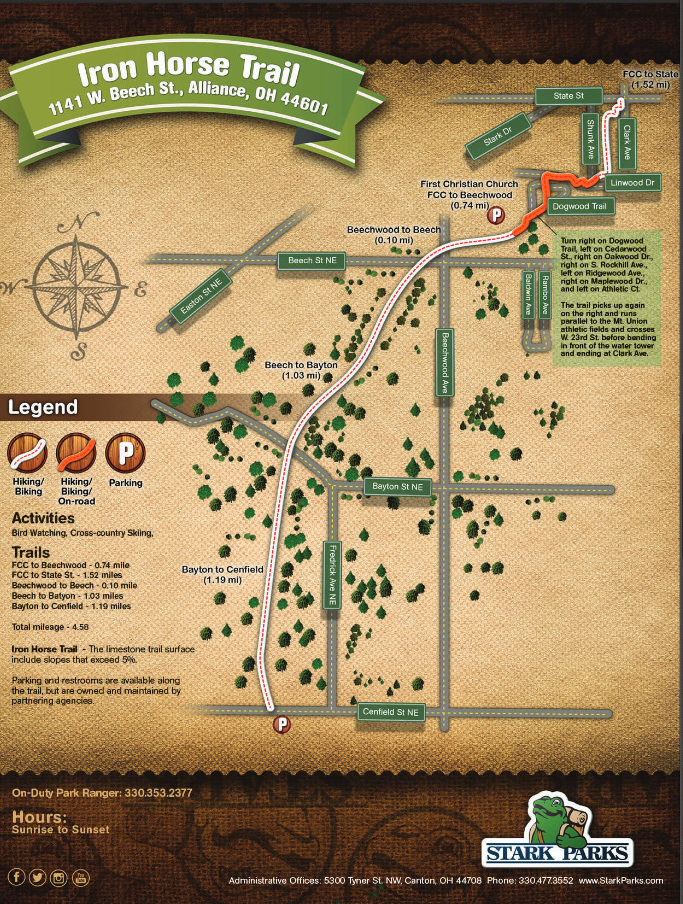
Cenfield St. is the trailhead at the south end of the Iron Horse Trail. Parking is available for about 3 vehicles across the street from the trailhead. The first cross street, Bayton St., Is 1.2 miles to the north. There are a couple of benches along this section of the trail.
About Iron Horse Trail (Stark Co.)
See all hotspots at Iron Horse Trail (Stark Co.)
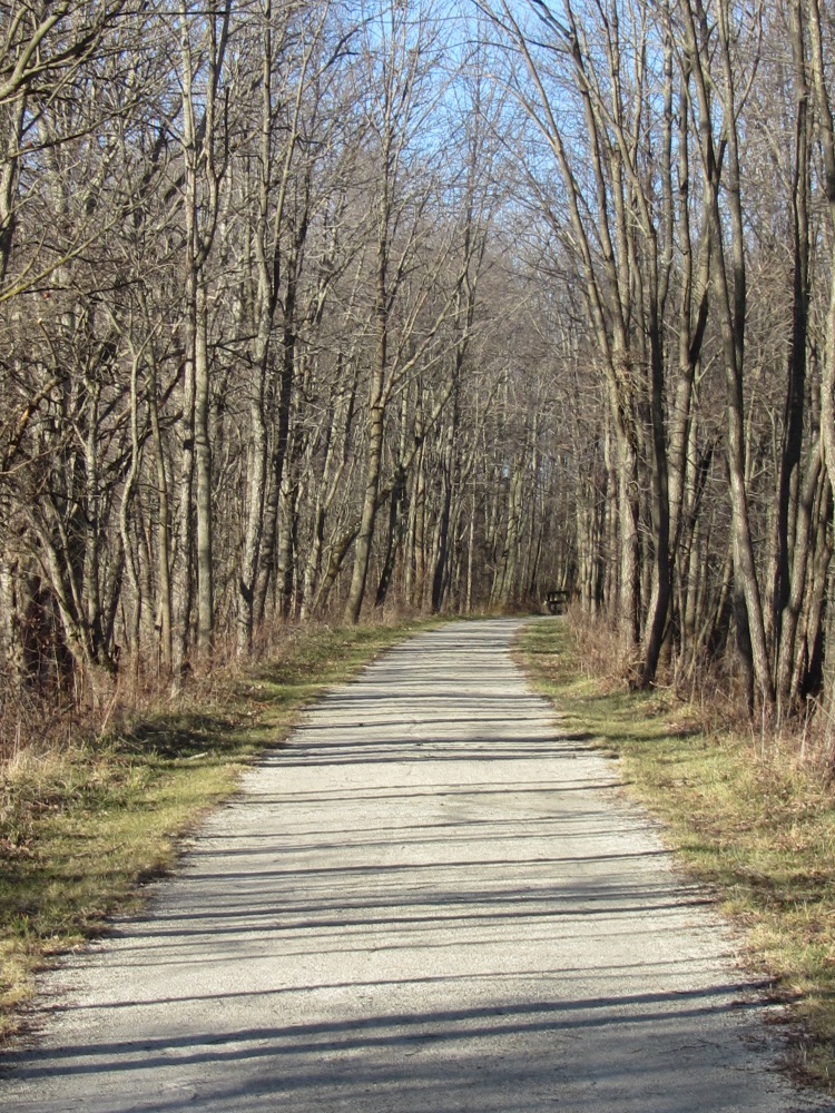
Get in 3.08 miles of hiking or biking on the Iron Horse Trail. This former railroad right-of-way once connected Alliance to Minerva. The limestone surface trail begins at the First Christian Church (FCC) and continues south to Cenfield Street. A northern connection from the FCC Trailhead uses an on-road route through a neighborhood to a short section of trail before ending at Clark Ave.
- Biking
- Bird Watching
- Cross-Country Skiing
- Hiking
Features
Restrooms on site
Content from Iron Horse Trail (Stark Co.) Official Website