Black Fork River--Bowen Rd.
Black Fork River--Bowen Rd.
Mansfield, Ohio 44905
Also, see all the hotspots at:
Richland County North Birding Drive
Tips for Birding
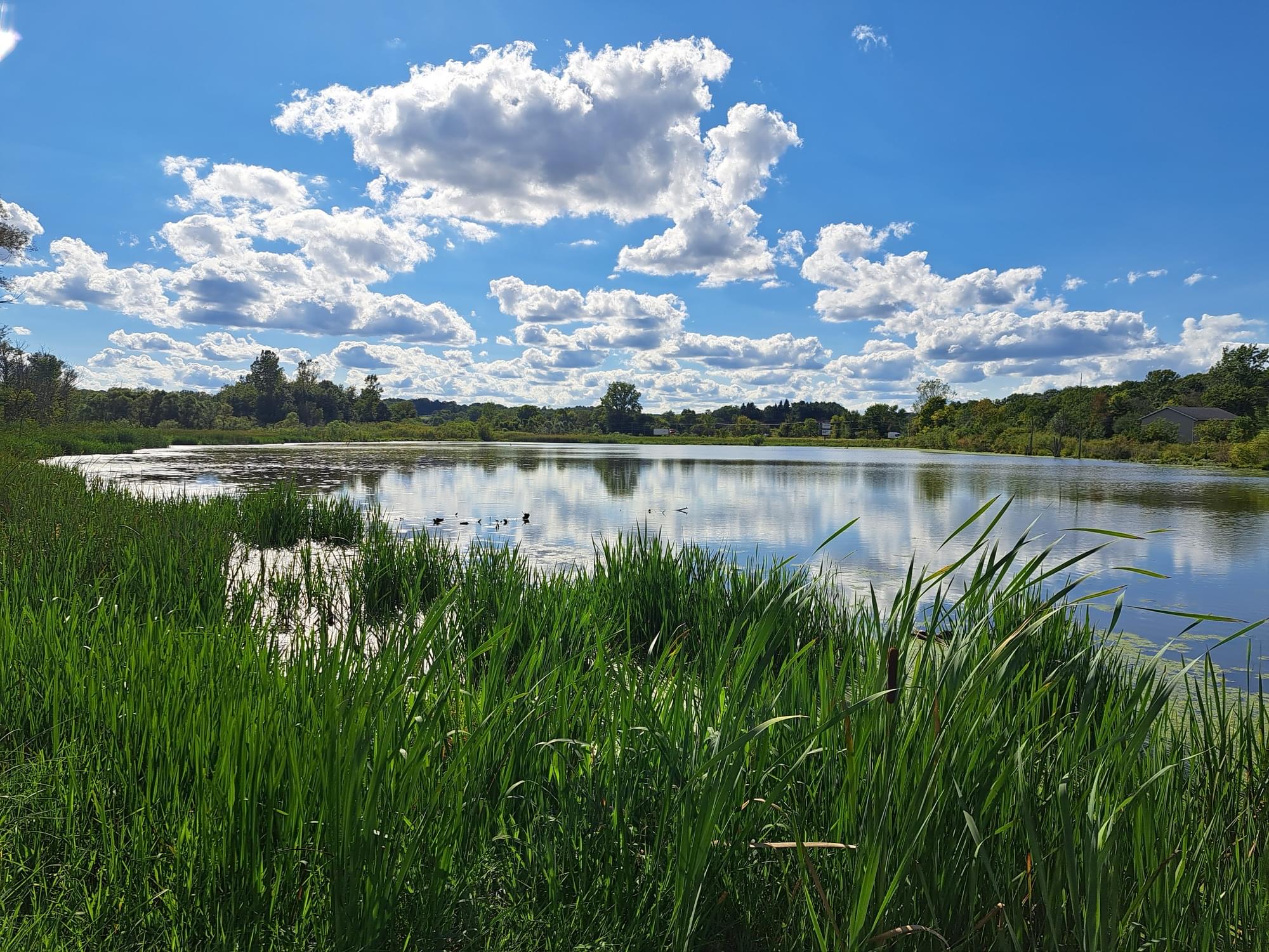
A section of the Black Fork Wetlands can be observed near the bridge where Bowen Road crosses the Black Fork River.
About this Location
The Black Fork is a principal tributary of the Mohican River, 58.4 miles long, in north-central Ohio in the United States. Via the Mohican, Walhonding, Muskingum, and Ohio Rivers, it is part of the watershed of the Mississippi River, draining an area of 351 square miles. According to the Geographic Names Information System, it has also been known historically as “Armstrongs Creek” and “Black Fork Creek.”
The Black Fork rises about 7 miles west of Mansfield in Richland County and initially flows northward through the city of Shelby, then eastward across northern Richland County before turning southeast for the remainder of its course through eastern Richland and southern Ashland Counties, past the towns of Perrysville and Loudonville. It joins the Clear Fork in Ashland County to form the Mohican River, about 2 miles southwest of Loudonville.
A US Army Corps of Engineers dam in Ashland County, completed in 1936, causes the Black Fork to form Charles Mill Lake.
Black Fork Wetlands Preserve is nearby, just east on Ashland Road (US-42).
Features
Restrooms on site
Content from Wikipedia