Grant Park
Grant Park
501 Normandy Ridge Road Centerville, Ohio 45459
Grant Park Official WebsiteGrant Park map
Also, see all the hotspots at:
Dayton Southeast Birding Drive
About this Location
It is most helpful when submitting eBird observations at Grant Park to start a new checklist for each hotspot within the park. Use this general hotspot when you have a checklist that includes multiple locations or there was not a hotspot or personal location appropriate for your sightings.
About Grant Park
See all hotspots at Grant Park
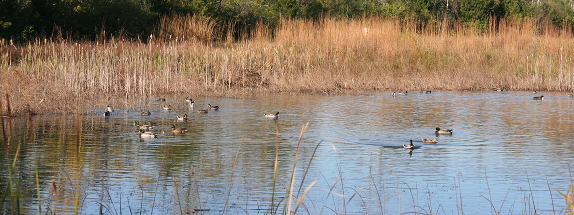
Grant Park is a 187-acre natural area. Trails in the park lead along creeks and through meadow, forest, prairie, and wetland habitats. The trails are of varying difficulty; some follow ridgelines or bottomlands, while others climb fairly steep hills. Two fire rings, located at the Chimneys and behind the Grant Nature Center, are available for reservations. Campfires are allowed by permit only. For the safety of park visitors, bicycles are not permitted on the trails and all pets must be on a leash. Parking is available at Normandy Elementary School on Normandy Ridge Road, Hadley Watts Middle School on McEwen Road, and Grant Nature Nook on McEwen Road. Play equipment is located at Grant’s Trail entrance to the park.
Notable Trails
Grant Park Trails
Trails at Grant Park include:
Short Loop Trail – 0.4 miles
Hoot Route Trail – 0.5 miles
Prairie/Meadow Loop Trail – 1.2 miles
Long Loop Trail – 1.3 miles
Barn Trail – 1 mile (one way)
A description with a map of a 3.5-mile hike using the trails at Grant Park is on the AllTrails website.
Features
Restrooms on site
Wheelchair accessible trail
Entrance fee
Roadside viewing
Content from Grant Park Official Website
Last updated February 11, 2023
