
Meander Reservoir

About this Location
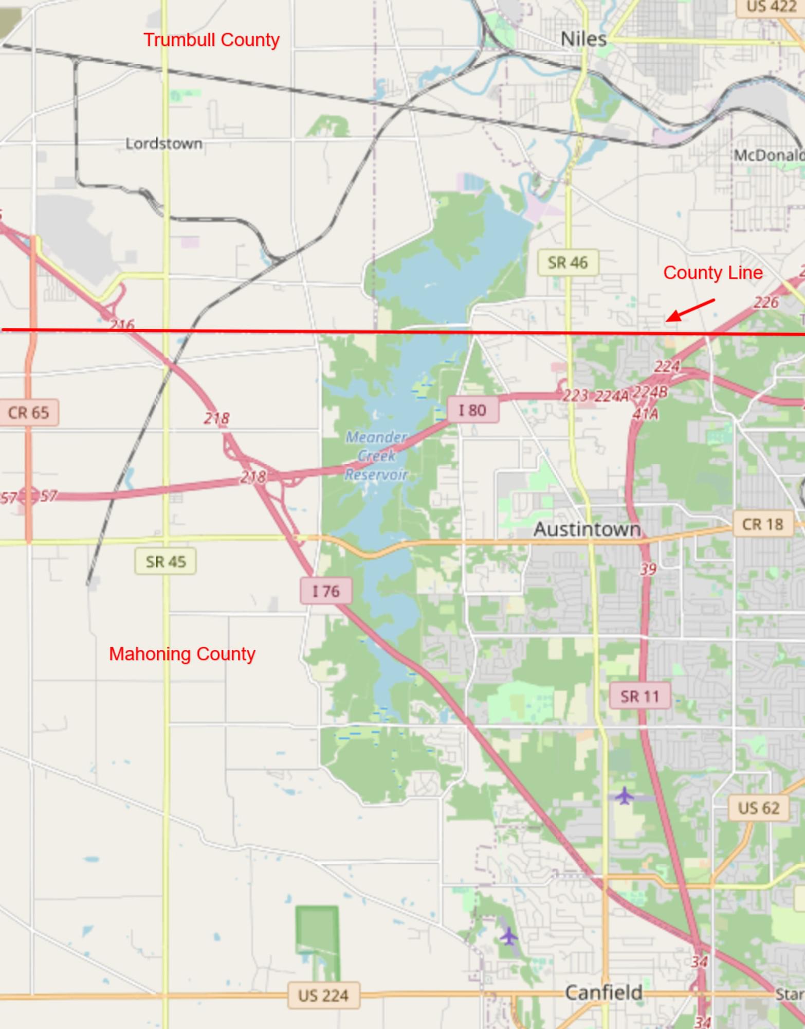
The north section of the reservoir is in Trumbull County. Austintown Warren Road crosses the reservoir just north of the county line. The south section of the reservoir is in Mahoning County. Mahoning Avenue crosses the reservoir in Mahoning County. It is not safe to stop to view birds on either or the Interstate highway corssings. Birders who carefully keep bird records by county will want to be aware of the location of the county line.
The Meander Creek Reservoir is seven miles long, covers 2,010 acres with 40 miles of shoreline, and has a capacity of 11 billion gallons. Mahoning Valley Sanitary District owned land includes 5,500 acres enclosed by 35 miles of fence. The land is reforested with 4 million evergreens, and serves as an unofficial fish and game refuge, with no public access permitted.
Please view birds from roadsides only.
Features
Restrooms on site
Content from Official Website
 Map adapted from © OpenStreetMap contributors