Black River Reservation
Elyria, Ohio 44035
Black River Reservation webpage
Black River Reservation map
Also, see Black River Mouth Important Bird Area
eBird Bar Charts by Season
Entire Year
Black River Reservation–Bridgeway Trail
Coordinates: 41.4387748, -82.106093
eBird links: Hotspot map – View details – Recent visits
My eBird links: Location life list – Submit data
Black River Reservation–Bur Oak
Coordinates: 41.4154726, -82.1038342
eBird links: Hotspot map – View details – Recent visits
My eBird links: Location life list – Submit data
Black River Reservation–High Meadows
Coordinates: 41.4062996, -82.1004975
eBird links: Hotspot map – View details – Recent visits
My eBird links: Location life list – Submit data
Black River Reservation–Steel Mill Trail
Coordinates: 41.459837, -82.112641
eBird links: Hotspot map – View details – Recent visits
My eBird links: Location life list – Submit data
Ohio Birding Day Hike
Black River Reservation Trails
Bridgeway Trail – 3 miles
Steel Mill Trail – 1.95 miles
Waterfall Trail – .5 mile
Cottonwood Trail – .1 mile
River Overlook Trail
Black River Bikeway
The AllTrails website has descriptions and maps of hikes in the Black River Reservation.
About Black River Reservation
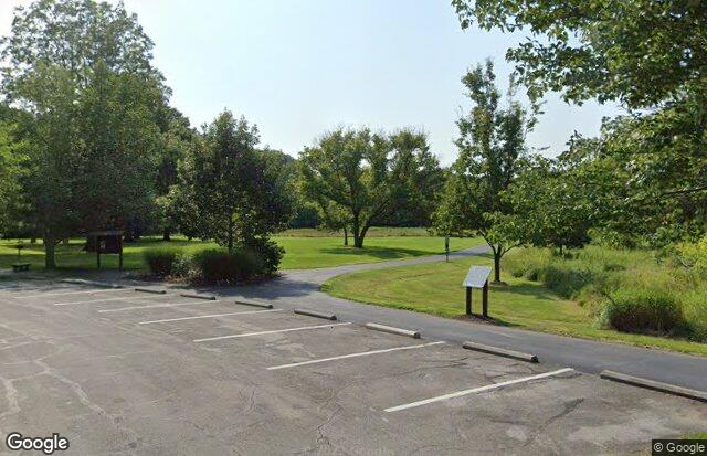
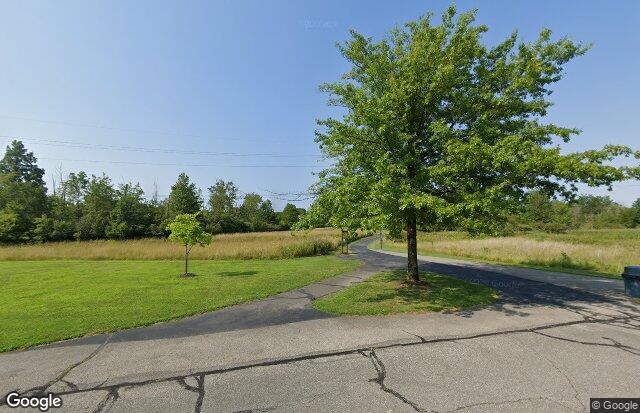
The Black River Reservation is one of the most popular parks in the Lorain County Metro Park system. The most notable feature is the Bridgeway Trail and the Steel Mill Trail. They total 5.5 miles of paved all-purpose trail that follow the Black River through its meanderings from Elyria to Lorain, spanning four city jurisdictions altogether. The reservation also features three separate picnic areas: High Meadows, Bur Oak and Day’s Dam, each contributing its own special character to the variety and natural beauty of this impressive park.
From Black River Reservation webpage
Restrooms at locations identified on Black River Reservation map.