Wayne National Forest--Kenton Lake
Wayne National Forest--Kenton Lake
Patriot, Ohio 45658
Official WebsiteKenton Lake map
Wayne National Forest website
Wayne National Forest printable maps
Also, see all the hotspots at:
Wayne National Forest-Ironton Important Bird Area
Gallia County Birding Drive
About this Location
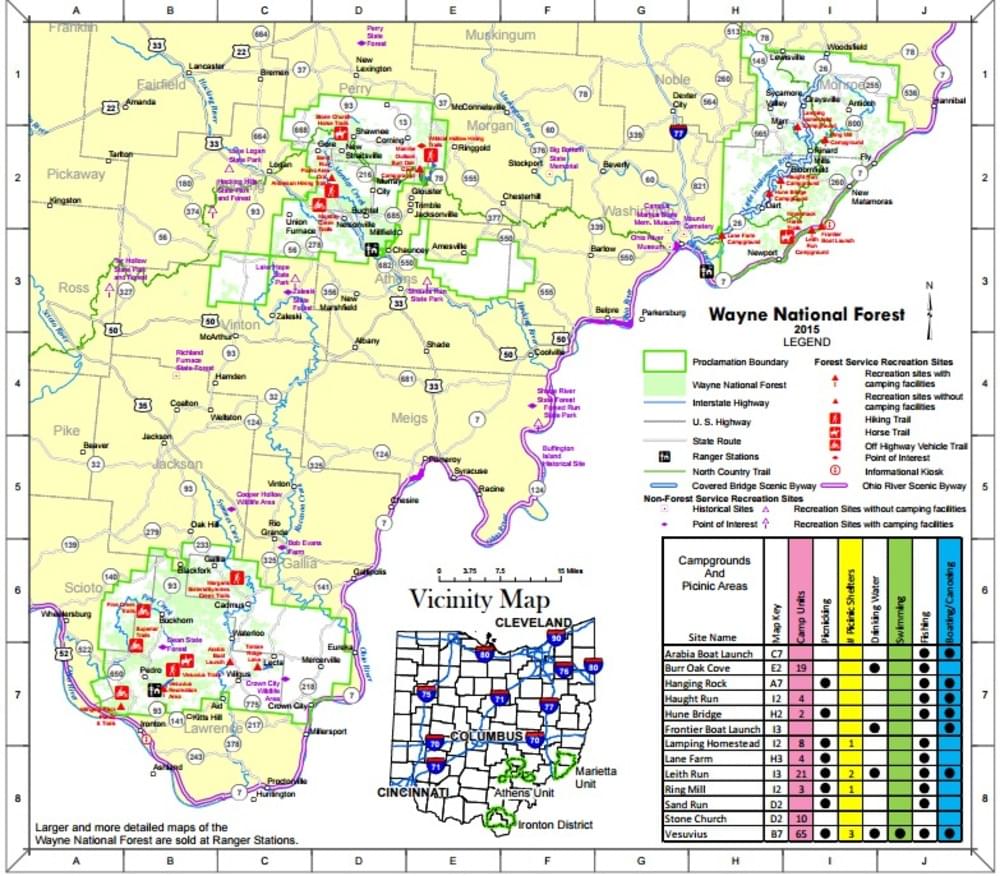
This 7-acre lake is located in Gallia County, on the northern end of the Ironton Ranger District. It is among the most popular lakes in the area due to its remote peaceful character. It is also known as Pumpkintown Lake.
About Wayne National Forest
See all hotspots at Wayne National Forest
The Wayne National Forest is located in the hills of southeastern Ohio. This small national forest, in the heart of the heavily populated Midwest, covers almost a quarter million acres of Appalachian foothills. The Wayne is divided into three blocks administered by two Ranger Districts at Athens and Ironton. A field office is also located east of Marietta.
Visitors to national forest lands are welcome to camp, hike, hunt, and fish. The Forest boundaries surround a checkerboard pattern of ownership, with public and private ownership interspersed. There are over 300 miles of trails in the Forest for hiking, all-terrain vehicle (ATV) riding, mountain biking, or horseback riding.
Content from Official Website and Wayne National Forest website