Focus on Funk Bottoms
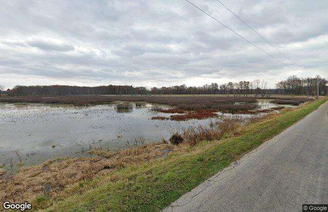
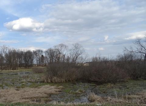
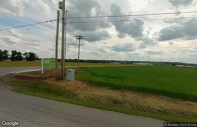
Funk Bottoms in Wayne County has been designated by the National Audubon Society as an Important Bird Area (IBA). This IBA consists of 2,000 acres of floodplain bottoms: intermittent wetlands and mostly scrub/shrub fields, with some permanently restored wetlands. The Funk Bottoms Wildlife Area is the main source of habitat. The adjacent areas are largely agricultural and include a peat farm. The area has an observation tower. The region undergoes extensive bottomland flooding in March and April.
There are three eBird hotspots in the Wildlife Area. All these locations are in Wayne County.
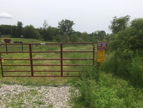
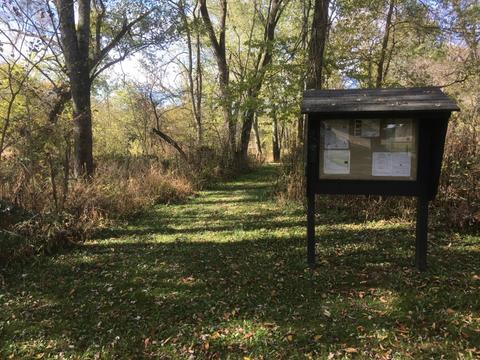
Funk Bottoms Wildlife Area
Funk Bottoms Wildlife Area–Angling Rd.
Funk Bottoms Wildlife Area–Funk Rd.
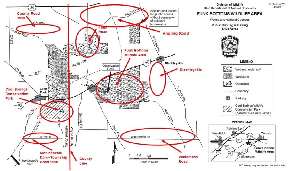
There are additional eBird Hotspots in the vicinity of Funk Bottoms Wildlife Area in Wayne and Ashland counties (see the list below). All of these locations are worth visiting. One way to visit a few of them is to follow the Funk Bottoms Birding Drive. Thanks to the Ohio Ornithological Society and Su Snyder for describing this route.
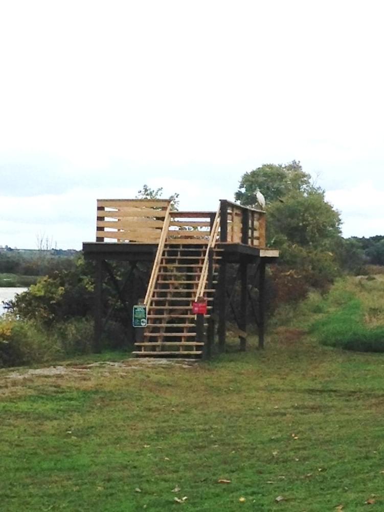
Observation Tower and OH-95
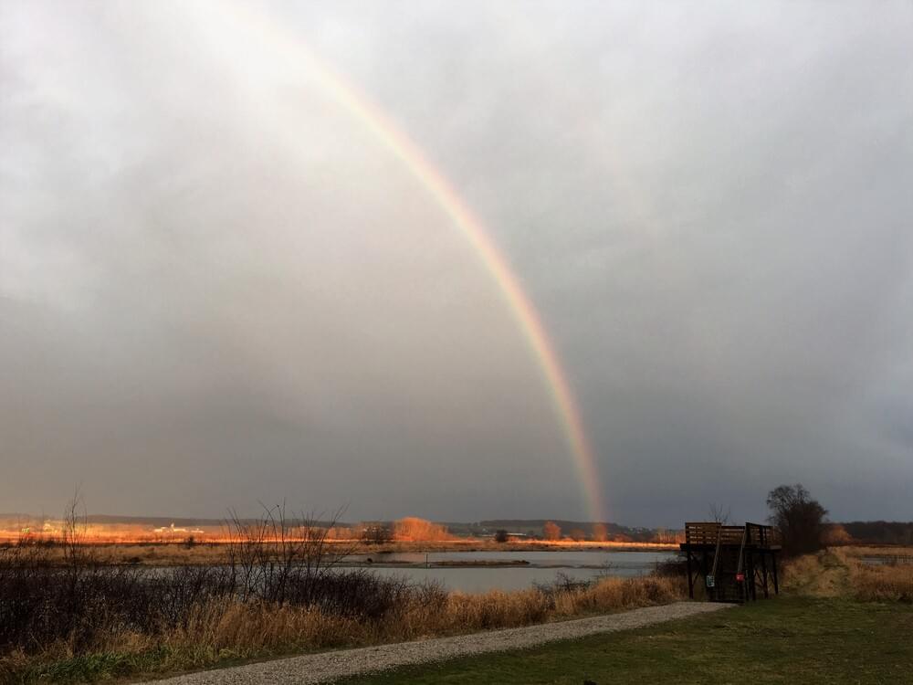
The observation tower is located on an access road on OH-95. There is parking and the observation tower gives an excellent view of birds out on the marsh.
Birds can often be observed at the edge of the marsh along OH-95. This is a very busy state highway and it is not safe to stop on the roadway. There are three pull-off areas on the south side of OH-95 that can accommodate 1 or 2 vehicles. The is also one pull-off area on the north side of the highway.
From the State Highway Patrol regarding bird watching along OH-95: “Please park on pull-offs or completely off the paved road in level gravel areas on the south side of the road, roadside parking on the north side is prohibited.”
Wilderness Road
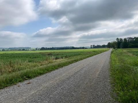
While not within the wildlife area itself, Wilderness Road is adjacent to Funk Bottoms Wildlife Area. The fields and ponds on Wilderness Road west of the intersection with Elyria Road are worth checking in all seasons.
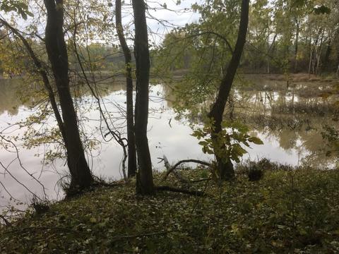
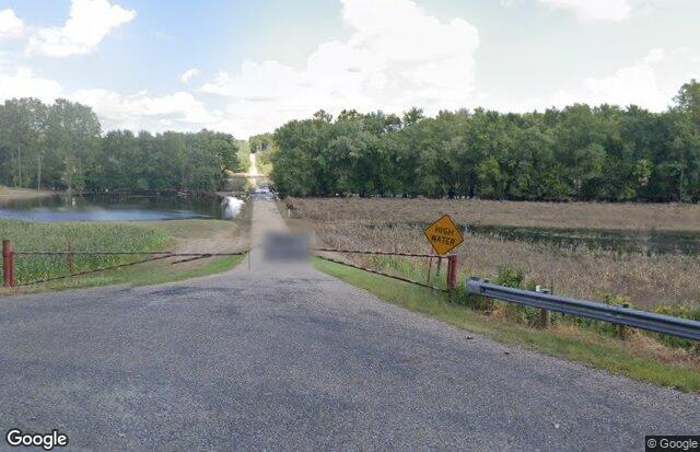
At the east end of Wilderness Road near a bridge, there are several peat pits on the north side of the road which often are drawn down in the fall to mine peat. The drawdown of water can create extensive mud flats which attract many shorebirds. Depending on water levels, the fields on the south side of Wilderness Road near the bridge can also hold waterfowl and shorebirds.
The peat pits on Wilderness Road are privately owned by an Amish man who loves birds and birders and therefore has welcomed birders to bird from the two dirt lanes on the east and west sides of the pits. These lanes are maintained by the company mining the peat. This company has also welcomed and been extremely gracious to birders. The only requests of the landowner and mining company are that birders stay on the dirt paths, not block the roadways, and give preference and a wide berth to any workers in the area. Obey any signs indicating certain areas are closed to entry.
Further west on Wilderness Road, across from and just west of a farmhouse, the fields often flood and then dry up, producing habitat for migrating shorebirds. A scope helps view birds all along Wilderness Road.