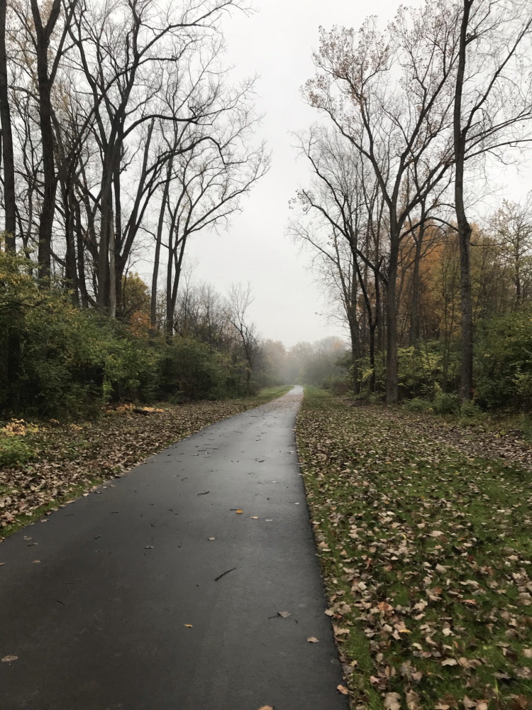
Galion Bike Path
eBird Bar Charts by Season
Entire Year
eBird Hotspot
Galion Bike Path
Coordinates: 40.7279, -82.8106
eBird links: Hotspot map – View details – Recent visits
My eBird links: Location life list – Submit data
Tips for birding Galion Bike Path
The Galion Bike Trail is currently .8 mile in one direction. There is parking at both ends, but the north end parking is the most reliable, as the south end is within the city waste water treatment plant grounds and is gated off after hours and on weekends.
The asphalt path runs through a nicely wooded area and along side of the Olentangy River, which is just a small stream this far north. The River is visible most places in the fall, but only in certain spots during the summer months. The path is fairly flat and an easy easy walk. Consider it a corridor of sorts. No vistas, no ponds. Binoculars would be helpful, but I don’t think a scope would be necessary unless something super exciting shows up.
In addition to the birds I have recorded, I have also spotted a ground hog, some snakes, deer, squirrels, and even a mink scurrying across the path towards the water. I’ve seen a lot of birds flitting about that I just could not identify.
From Bobbi Reed
About Galion Bike Path
The Galion Bike Path is a recreation trail being opened in phases. The trail is designed for walking, running, and biking. Phase 1 of the trail is open from the Galion Waste Water Treatment Plant north along the Olentangy River to Bucyrus Road.
From Galion Bike Path webpage
No restroom facilities.
The trail is wheelchair accessible. There is handicapped parking and the path is even and flat.