Caesar Creek Lake Wildlife Area

Caesar Creek Lake Wildlife Area
Spring Valley, Ohio 45370
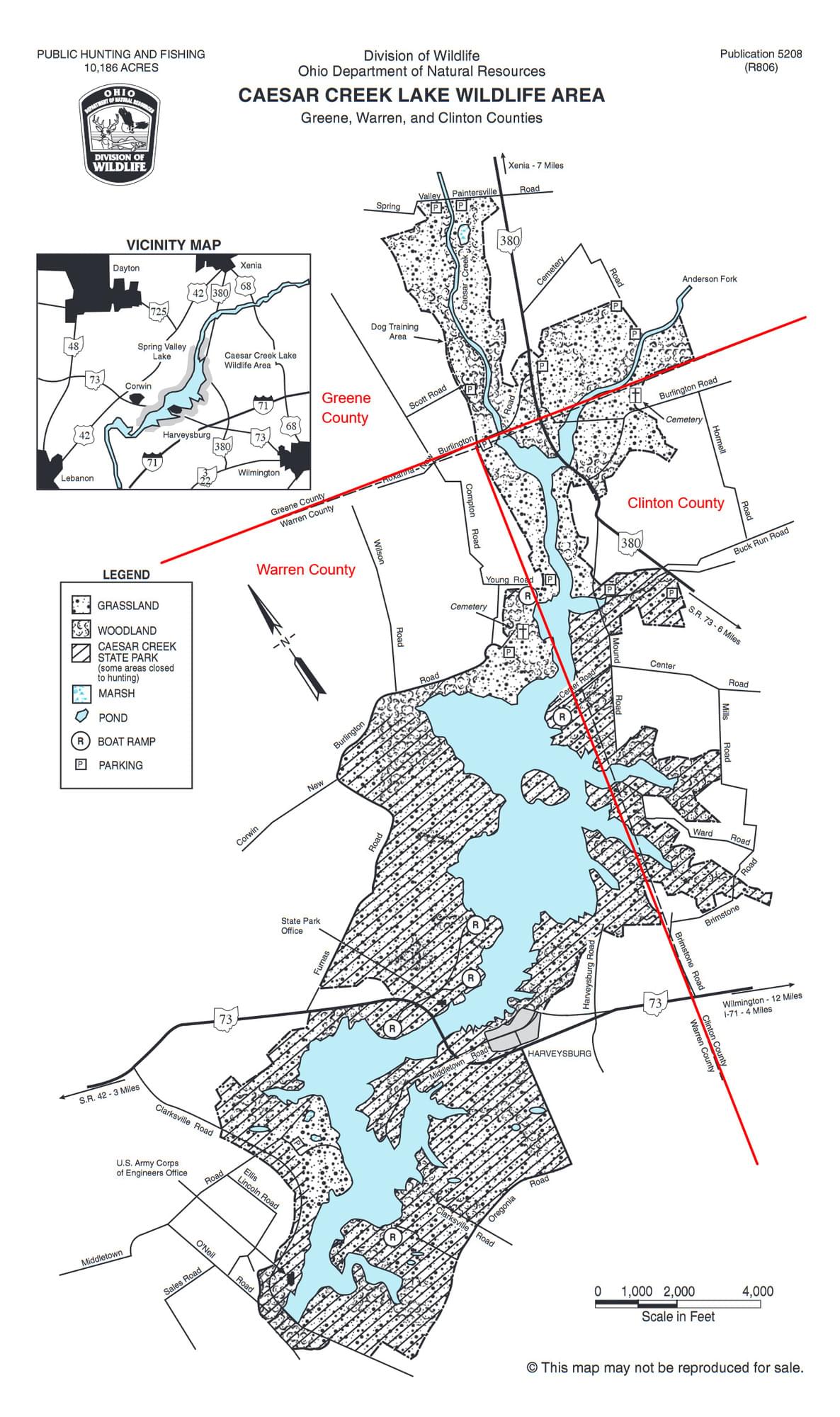
Official WebsiteCaesar Creek Lake Wildlife Area map
Tips for Birding
Caesar Creek State Park is adjacent south of the wildife area.
About this Location
Caesar Creek Lake Wildlife Area spans three counties. The northern section is in Greene County, the middle section is in Clinton County, and the southern section is in Warren County. See the wildlife area map for the location of the county lines. If you carefully keep your bird records by county, be sure to use the specific hotspots in this wildlife area so that the birds will be assigned to the proper county.
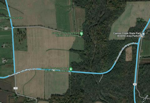
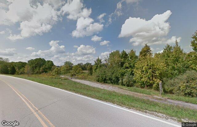
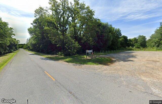
Caesar Creek Lake Wildlife Area is located in southwestern Ohio, at the junction of Clinton, Greene, and Warren counties. OH-73 bisects the reservoir and crosses Corwin-New Burlington Road which provides access to the wildlife area from the south. Lumberton-New Burlington and Mound Roads reach the area from the southeast. In Greene County, Cemetery, Roxanna-New Burlington, and OH-380 provide access from the north and west. Clarksville and Oregonia Roads provide access from the south.
The 3,100-acre wildlife area lies scattered at Caesar Creek Lake, a flood control reservoir operated by the US Army Corps of Engineers. In summer, the reservoir is normally 2,830 acres. During periods of heavy rainfall, the reservoir covers portions of the normally dry wildlife area. Caesar Creek State Park, 7,086 acres, is on both sides of the reservoir.
Meadow and grain crops cover about 50 percent of the wildlife area and woodlands make up about 40 percent. The remainder is reverting fields–a mixture of shrubs, small trees, grasses, and forbs.
Features
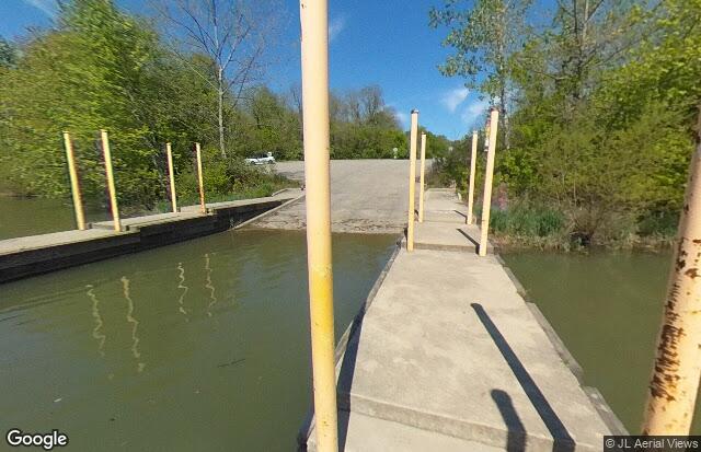
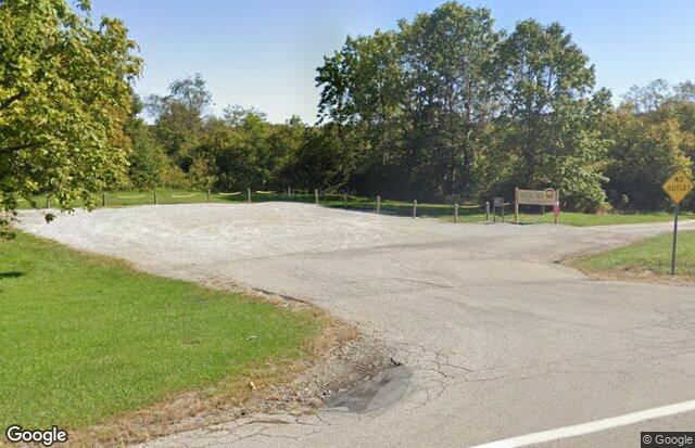
Restrooms on site
Content from Official Website