Western Reserve Greenway Trail--Austinburg Trailhead
Western Reserve Greenway Trail--Austinburg Trailhead
Austinburg, Ohio 44010
Western Reserve Greenway Trail Official WebsiteWestern Reserve Greenway Trail (TrailLink) map
Western Reserve Greenway Trail (Ashtabula County) webpage
Western Reserve Greenway Trail (Trumbull County) webpage
About this Location
About Austinburg Trailhead
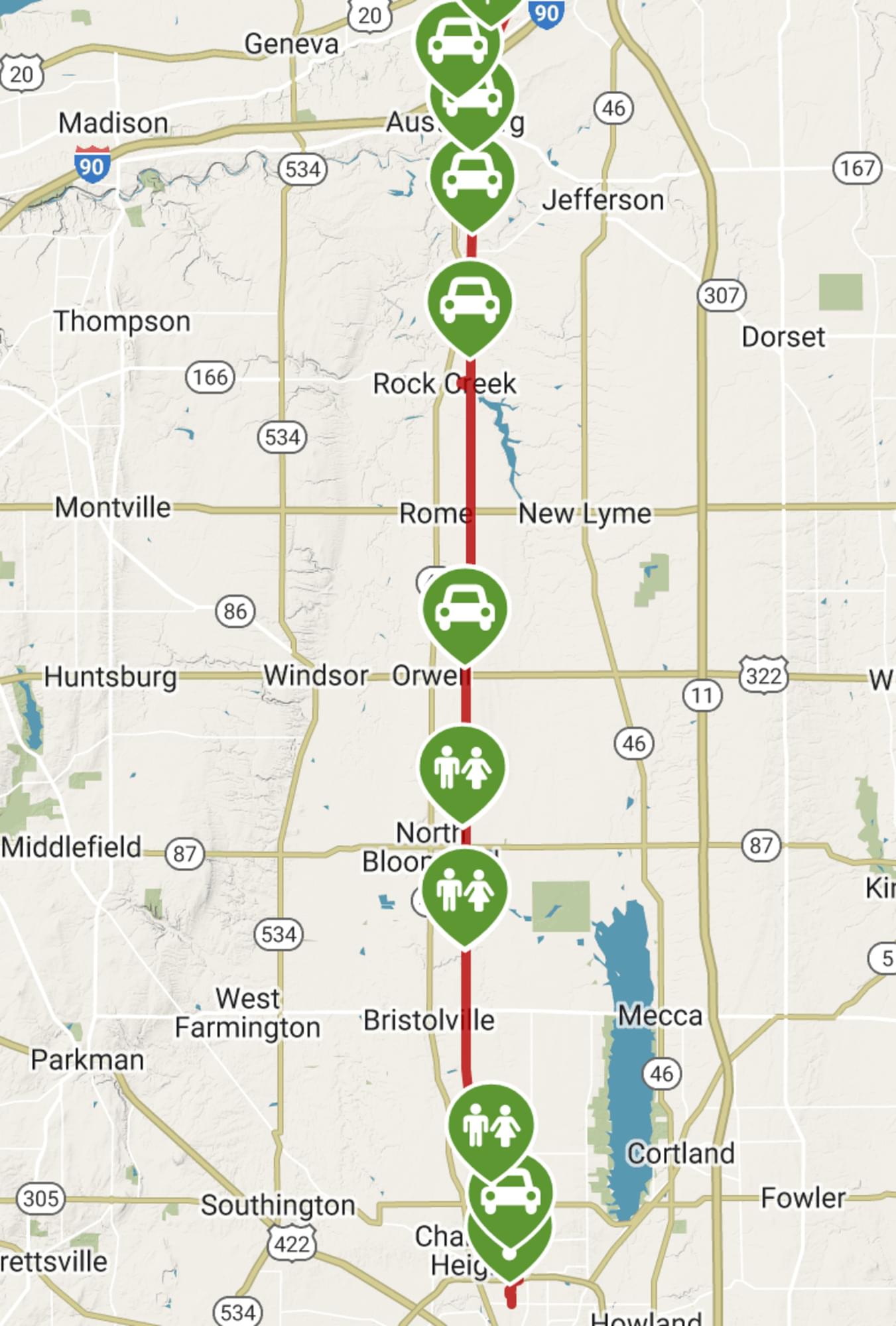
The Austinburg parking lot is on the Western Reserve Greenway in Austinburg Township. It is located on the north side of OH-307, .25 mile east of OH-45.
About Western Reserve Greenway Trail
See all hotspots at Western Reserve Greenway Trail
The Western Reserve Greenway travels 43 miles through a scenic, mostly rural area, cutting a north-south course from Ashtabula to Warren in northeastern Ohio. The route follows much of the Pennsylvania Railroad’s former branch line, extending to the shores of Lake Erie at Ashtabula. This rail line once transported iron ore to the steel mills of eastern Ohio and western Pennsylvania. Today, the trail is the longest section of the planned 110-mile Great Ohio Lake-to-River Greenway that will begin on the shores of Lake Erie and travel south to the banks of the Ohio River in East Liverpool.
Features
Wheelchair accessible trail
Restrooms on site
Entrance fee
Roadside viewing
Content from Western Reserve Greenway Trail (TrailLink) website