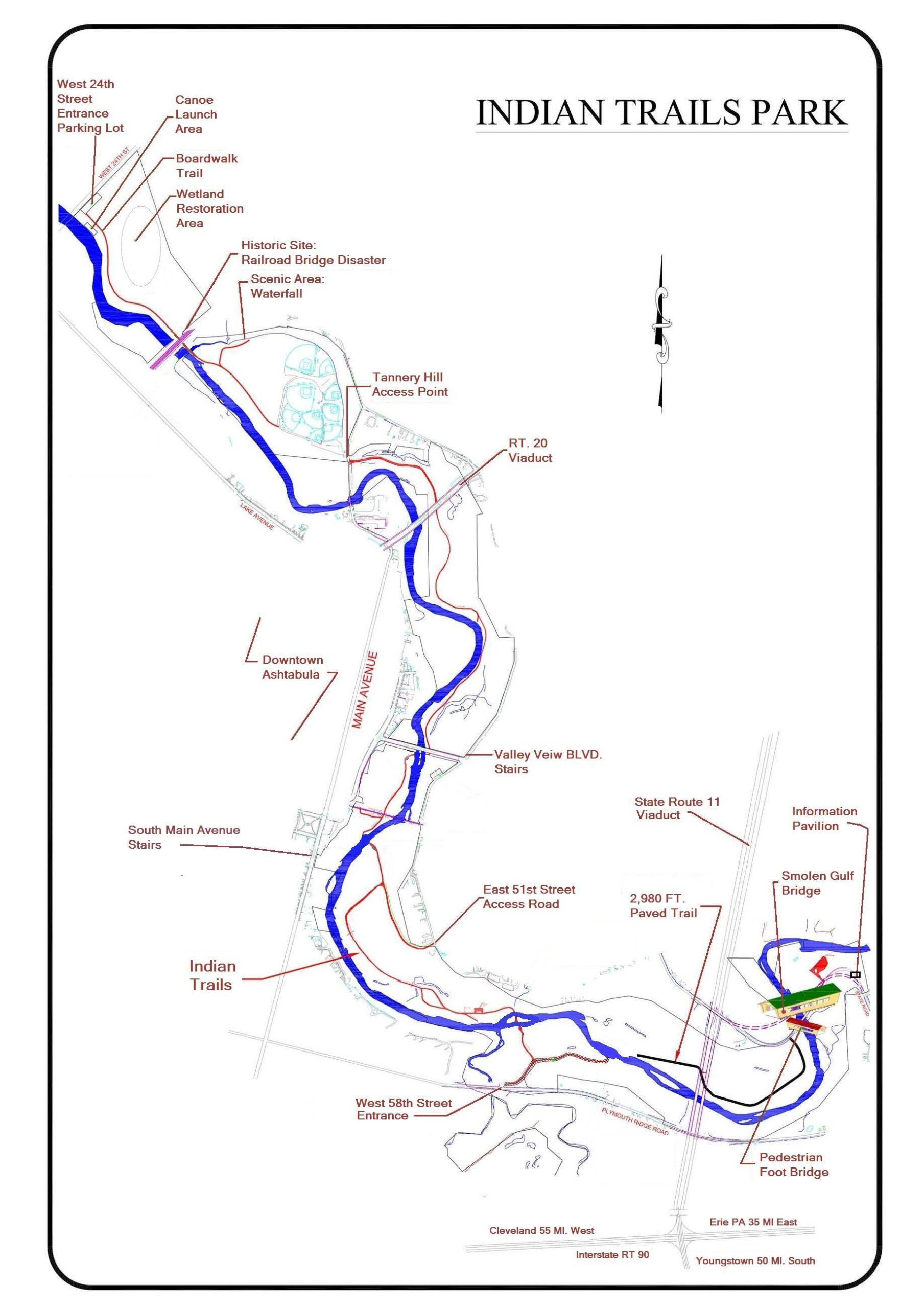
Indian Trails Park
About this Location
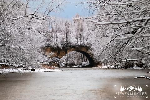
The gulf region of Indian Trails Park covers 369 acres as it stretches from the Penn Central Railway in the north to the National Guard rifle range in the south, winding its way with the Ashtabula River. Since the advent of new roads, it has stayed pretty much a natural area. Previously, when State Road was the main byway and when the road to Main Street followed along East 51st Street through a covered bridge in the gulf, a lot of traffic passed through the area. The little league park had its beginnings in 1949 when the first ball field was constructed there. Since that time, it has grown, but in fact, is not under the township’s control. The group is allowed to use the land for its purpose on the condition it maintains the area. The archery club operates under the same setup. The grounds for camping trailers were first established in 1968. The purpose was simply to provide revenue for the maintenance of the lands.
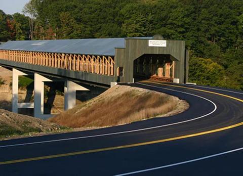
There is an Educational and Informational pavilion for Indian Trails Park near the Smolen-Gulf Covered Bridge. The pavilion was built with all volunteer labor and was funded by several sponsors. Laminated colorful panels include information on the Ashtabula Scenic River, The Ashtabula Township Parks, Cleveland Museum of Natural History, The Lake Erie Scenic By-way, Covered bridges around the county, museums, and historical facts.
Features
Restrooms on site
Content from Official Website